Activities
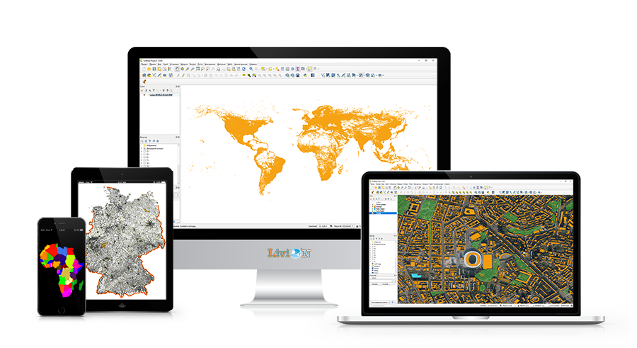
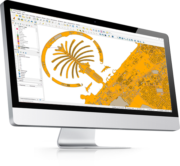
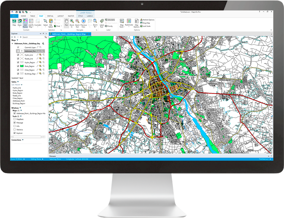
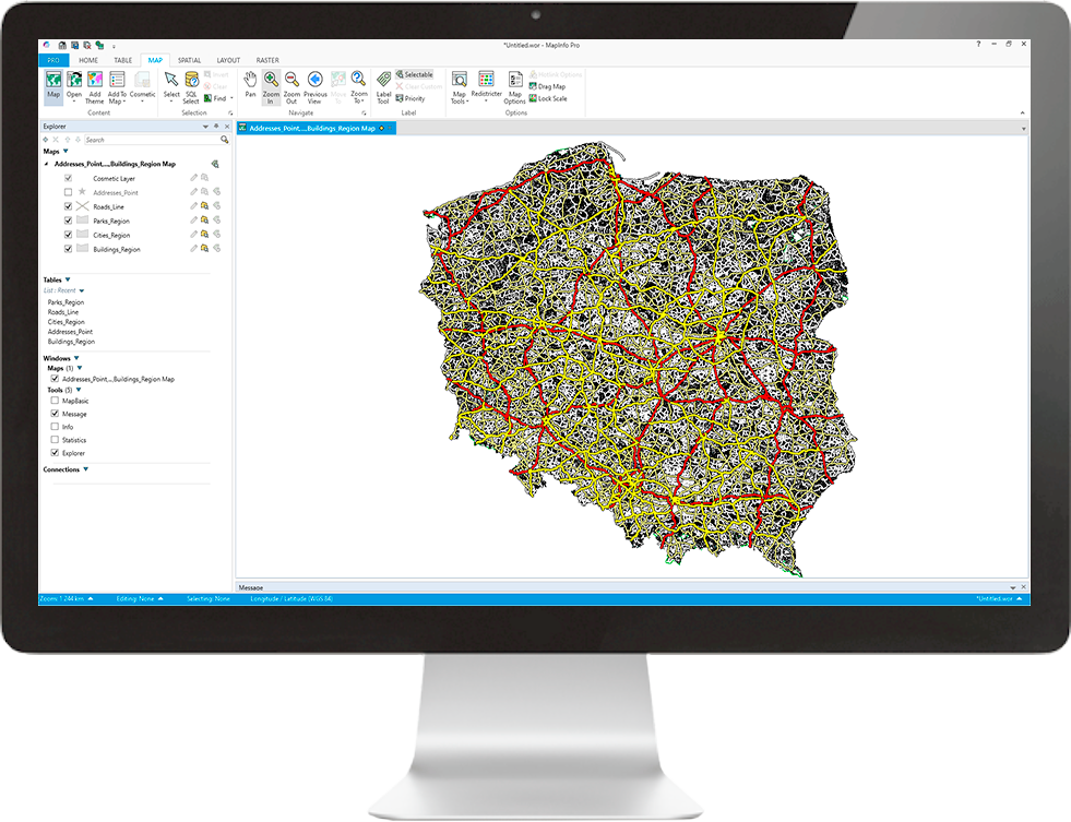
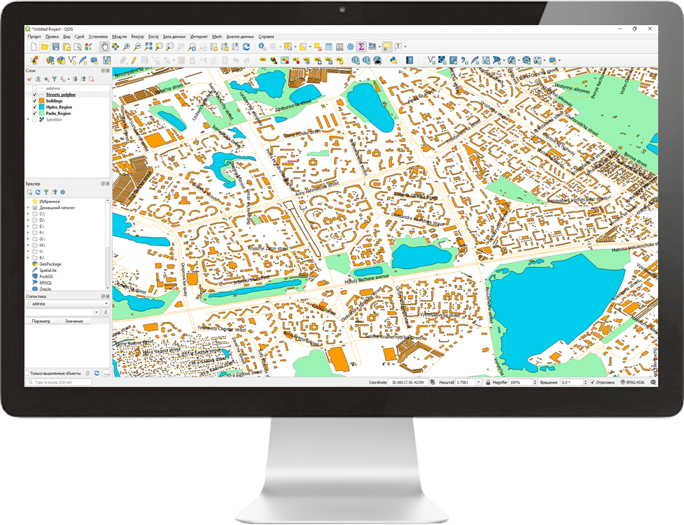
Digital Mapping. Creation, sale, updating, editing, integration and visualization.
Quick search and speed up purchase Geospatial databases of any country from local suppliers. Partnerships with 273+ data providers.
Working with Databases. Geodata, Business Listings, Places, etc. All our data is verified by automated processes and human eyes on a ongoing basis.
Digitizing Satellite Imagery. Digitizing raster data to create vector layers: Roads, Boundaries, Buildings, Railways, Hydrography, Vegetation, etc.
Software development. The Industries We Serve: Automotive, Logistics, Fleet Management, Government, Taxi, Developers, etc.
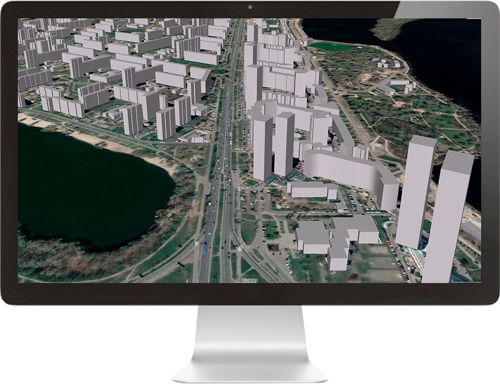
3D models creation. High-quality models of buildings, structures, attractions.
